Kansas Drone Services is a company that specializes in providing drone services to various industries in the state of Kansas. Drones, also known as unmanned aerial vehicles (UAVs), have become increasingly popular in recent years due to their versatility and efficiency. They are used in a wide range of industries, including agriculture, construction, real estate, and more. Kansas Drone Services offers a variety of services, including drone mapping, photography, videography, and more.
The use of drones in various industries has become increasingly important due to their ability to capture high-resolution images and videos from unique perspectives. Drones can be equipped with cameras and sensors that allow them to capture detailed aerial images and videos, which can then be used for a variety of purposes. For example, in agriculture, drones can be used to monitor crop health and identify areas that require attention. In construction, drones can be used to survey sites and create 3D models of buildings. In real estate, drones can be used to capture stunning aerial shots of properties for marketing purposes.
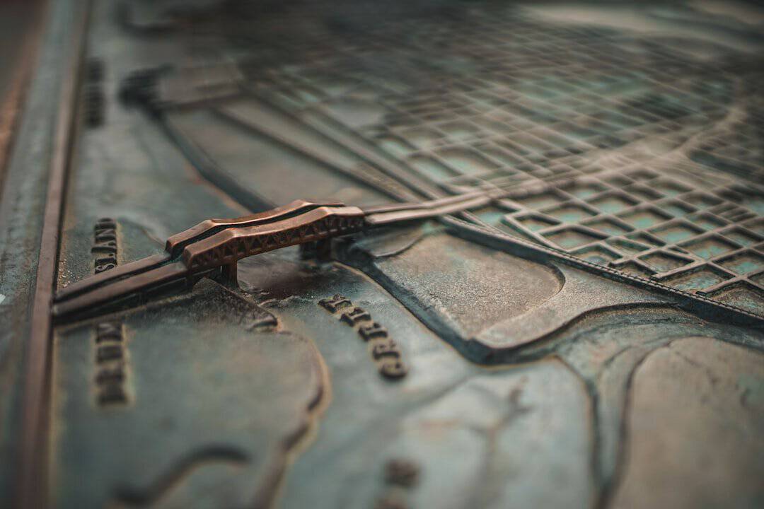
Drone mapping is the process of using drones to create detailed maps and models of an area. This technology has revolutionized the way mapping is done in various industries. One of the main benefits of drone mapping is its ability to capture high-resolution images and videos from above. This allows for a more accurate representation of the area being mapped.
In Kansas, drone mapping has been used in a variety of ways. For example, in agriculture, farmers can use drone mapping to monitor crop health and identify areas that require attention. By capturing aerial images of their fields, farmers can identify issues such as nutrient deficiencies or pest infestations early on, allowing them to take corrective action before it's too late.
In addition to agriculture, drone mapping has also been used in land surveying and construction projects in Kansas. Drones can be used to survey large areas of land quickly and accurately, creating detailed maps and models that can be used for planning and development purposes. This technology has also been used in environmental monitoring, allowing researchers to track changes in ecosystems over time.
The use of drones in Kansas dates back to the early 2000s when they were primarily used for military purposes. However, as technology advanced and drones became more accessible, their use expanded to various industries in the state.
Over the years, drones have evolved significantly. In the early days, drones were large and expensive, making them inaccessible to most people. However, as technology improved, drones became smaller, more affordable, and easier to operate. This led to an increase in their use in industries such as agriculture, construction, and real estate.
Today, drones are equipped with advanced cameras and sensors that allow them to capture high-resolution images and videos. They can also be programmed to fly autonomously, making them even more efficient and versatile. As technology continues to advance, it is likely that drones will become even more integrated into various industries in Kansas.
Drone photography is the art of capturing images from above using a drone. This form of photography has become increasingly popular in recent years due to its ability to capture unique perspectives and stunning aerial shots.
In Kansas, drone photography has been used to capture the beauty of the state's landscapes. From rolling fields of wheat to picturesque sunsets, drone photographers have been able to capture stunning images that showcase the natural beauty of Kansas.
One example of drone photography in Kansas is the capturing of images during the annual sunflower bloom. Each year, fields of sunflowers bloom across the state, creating a breathtaking sight. Drone photographers have been able to capture aerial shots of these fields, showcasing the vibrant colors and patterns created by the sunflowers.
Drone photography has also been used in real estate to capture aerial shots of properties. These images can be used for marketing purposes, allowing potential buyers to get a better sense of the property's layout and surroundings.
Drone videography is similar to drone photography, but instead of capturing still images, it involves capturing videos from above using a drone. This form of videography has become increasingly popular in recent years due to its ability to capture dynamic footage from unique perspectives.
In Kansas, drone videographers have been able to capture stunning videos that showcase the beauty of the state. From sweeping shots of the prairies to aerial views of bustling cities, drone videos provide a unique perspective that cannot be captured with traditional cameras.
One example of drone videography in Kansas is the capturing of footage during the annual Symphony in the Flint Hills event. This event takes place in the Flint Hills region of Kansas and features a live symphony performance against the backdrop of the rolling prairies. Drone videographers have been able to capture breathtaking footage of this event, showcasing the beauty of both the music and the landscape.
Drone videos have also been used in tourism marketing to promote various attractions in Kansas. By capturing aerial shots of popular tourist destinations, drone videographers are able to provide potential visitors with a unique perspective and entice them to visit.

Drone mapping plays a crucial role in agriculture and land management in Kansas. By using drones to create detailed maps and models of fields and land, farmers and land managers are able to make more informed decisions and improve efficiency.
In agriculture, drone mapping is used to monitor crop health and identify areas that require attention. By capturing high-resolution images of fields, farmers can identify issues such as nutrient deficiencies, pest infestations, or irrigation problems. This allows them to take corrective action early on, preventing potential crop losses and improving overall yield.
Drone mapping is also used in land management to monitor changes in ecosystems and track the health of natural resources. By capturing aerial images of forests, wetlands, and other natural areas, land managers can identify changes in vegetation cover, water quality, and wildlife populations. This information can then be used to develop conservation plans and make informed decisions about land use.
The benefits of using drone mapping in agriculture and land management are numerous. It allows for more accurate and efficient monitoring of crops and natural resources, leading to improved productivity and sustainability. It also reduces the need for manual labor and costly equipment, making it a cost-effective solution for farmers and land managers.
Drone mapping is also used in infrastructure planning and development in Kansas. By using drones to create detailed maps and models of construction sites and existing infrastructure, engineers and planners are able to make more informed decisions and improve efficiency.
In construction, drone mapping is used to survey sites and create 3D models of buildings. By capturing high-resolution images of construction sites, drones can create accurate maps that can be used for planning purposes. This allows engineers to identify potential issues or conflicts early on, preventing costly delays or rework.
Drone mapping is also used in infrastructure planning to assess the condition of existing infrastructure such as roads, bridges, and utilities. By capturing aerial images of these assets, engineers can identify areas that require maintenance or repair. This information can then be used to develop maintenance plans and allocate resources more effectively.
The benefits of using drone mapping in infrastructure planning and development are significant. It allows for more accurate and efficient assessment of construction sites and existing infrastructure, leading to improved project outcomes. It also reduces the need for manual surveying and costly equipment, making it a cost-effective solution for engineers and planners.
The future of drone mapping projects in Kansas looks promising. As technology continues to advance, drones are becoming more capable and affordable, making them even more accessible to various industries.
One potential advancement in drone technology is the use of artificial intelligence (AI) and machine learning algorithms. These technologies can be used to analyze the data captured by drones and provide valuable insights. For example, AI algorithms can be used to identify crop diseases or pests from aerial images, allowing farmers to take immediate action.
Another potential advancement is the use of swarm technology, where multiple drones work together to complete a task. This could be particularly useful in large-scale mapping projects or search and rescue operations, where multiple drones can cover a larger area in less time.
The future of drone mapping projects in Kansas also depends on the regulatory environment. As drones become more integrated into various industries, it is important for regulations to keep up with the technology. This includes ensuring the safety and privacy of individuals, as well as establishing guidelines for the use of drones in different industries.
When it comes to drone services in Kansas, there are several legal and ethical considerations that need to be taken into account. It is important for drone operators to understand and comply with the regulations set forth by the Federal Aviation Administration (FAA) and other relevant authorities.
In Kansas, drone operators must obtain a Remote Pilot Certificate from the FAA in order to operate a drone commercially. This certification requires passing a knowledge test and complying with certain operating rules, such as maintaining visual line of sight with the drone and not flying over people or beyond visual line of sight.
In addition to legal considerations, there are also ethical considerations when it comes to drone services. It is important for drone operators to respect the privacy of individuals and obtain necessary permissions when capturing images or videos of private property. It is also important to operate drones in a safe and responsible manner, taking into account the safety of people and property.
By following regulations and ethical guidelines, drone operators can ensure the safe and responsible use of drones in Kansas.
In conclusion, drone mapping projects play a crucial role in various industries in Kansas. From agriculture to infrastructure planning, drones have revolutionized the way mapping is done, providing accurate and efficient solutions for businesses and organizations.
The use of drones in Kansas has evolved significantly over the years, becoming more accessible and versatile. Drone photography and videography have allowed for the capture of stunning aerial shots that showcase the beauty of the state. In agriculture and land management, drone mapping has improved productivity and sustainability. In infrastructure planning and development, drone mapping has improved project outcomes and resource allocation.
As technology continues to advance, the future of drone mapping projects in Kansas looks promising. With advancements in AI, machine learning, and swarm technology, drones will become even more capable and efficient. However, it is important for drone operators to navigate the legal and ethical considerations associated with drone services to ensure the safe and responsible use of this technology.
In conclusion, drone mapping projects are an essential tool for navigating the heartland of Kansas, providing valuable insights and solutions for various industries. It is important for businesses and organizations in Kansas to embrace this technology and utilize drone services for their projects. By doing so, they can benefit from the accuracy, efficiency, and unique perspectives that drones provide.
Drone mapping is the process of using unmanned aerial vehicles (UAVs) equipped with cameras or other sensors to capture images and data of a specific area, which can then be used to create detailed maps and 3D models.
Drones can cover large areas quickly and efficiently, providing high-resolution images and data that can be used for a variety of purposes, including land surveying, agriculture, construction, and environmental monitoring. They can also access areas that are difficult or dangerous for humans to reach.
There are several drone mapping projects underway in Kansas, including mapping of agricultural land for crop management, mapping of construction sites for project planning and monitoring, and mapping of natural resources for environmental conservation.
The Federal Aviation Administration (FAA) regulates the use of drones for commercial purposes, including mapping projects. Operators must obtain a remote pilot certificate and follow specific guidelines for drone operation, including altitude restrictions, line-of-sight requirements, and airspace restrictions.
Some potential challenges of using drones for mapping projects include weather conditions, technical malfunctions, and privacy concerns. Additionally, the use of drones for mapping projects may require specialized training and equipment, which can be costly.


